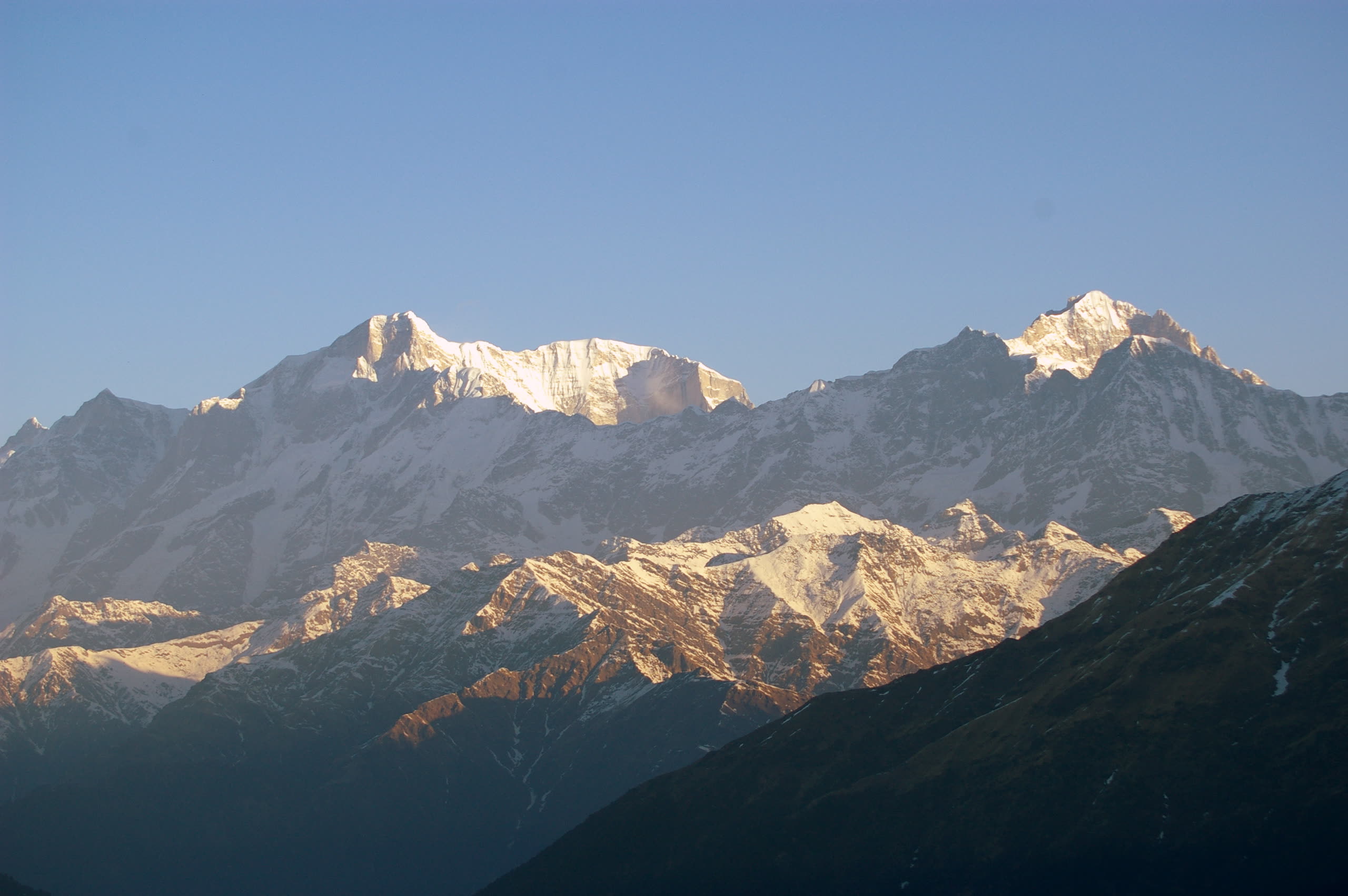
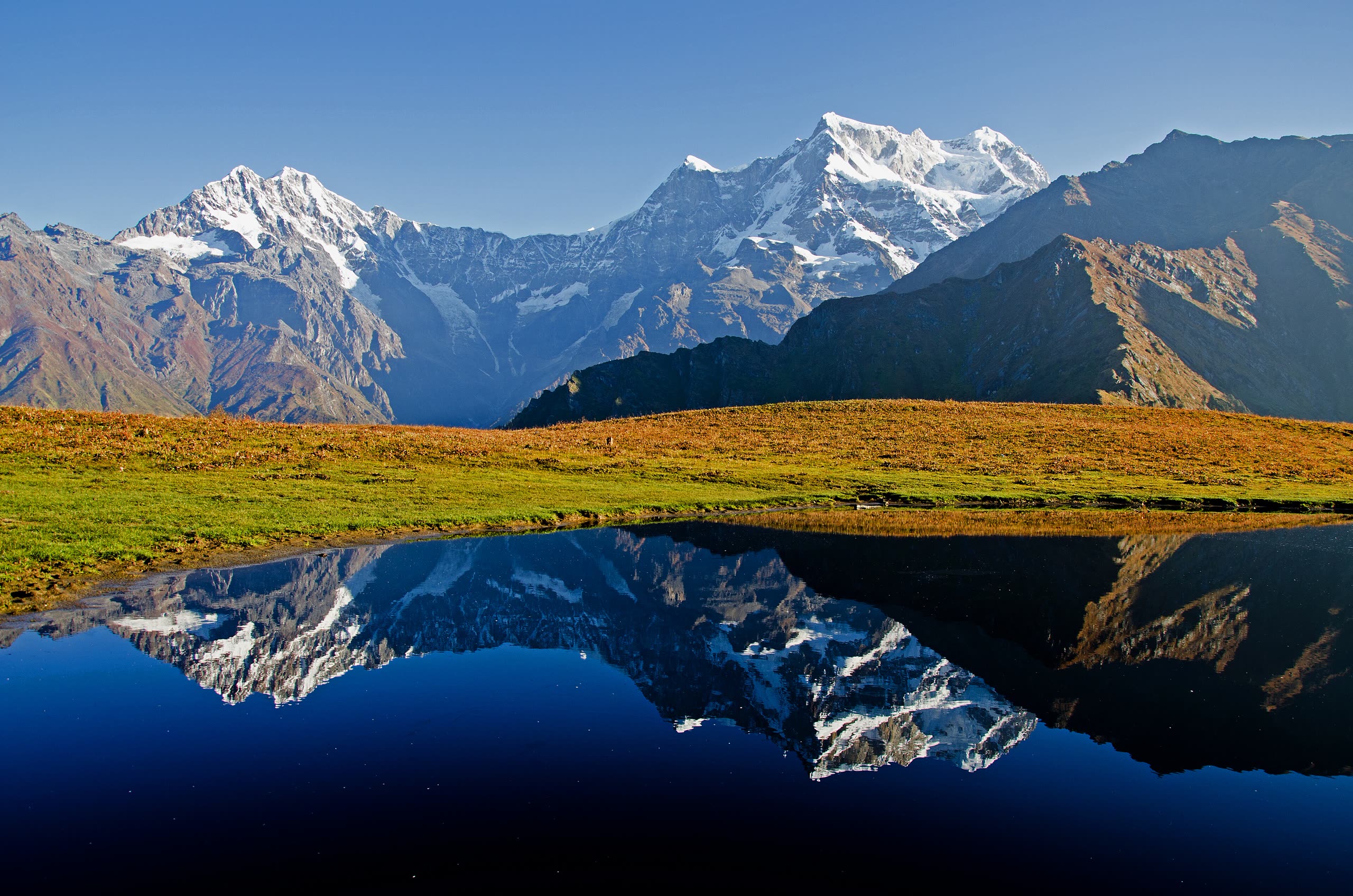
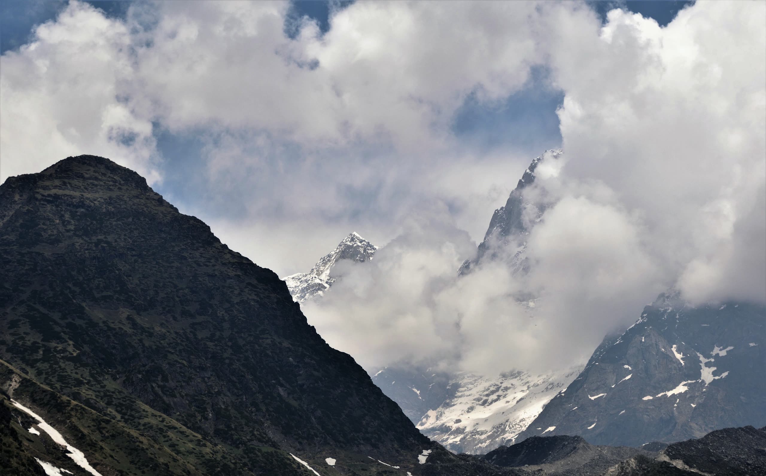
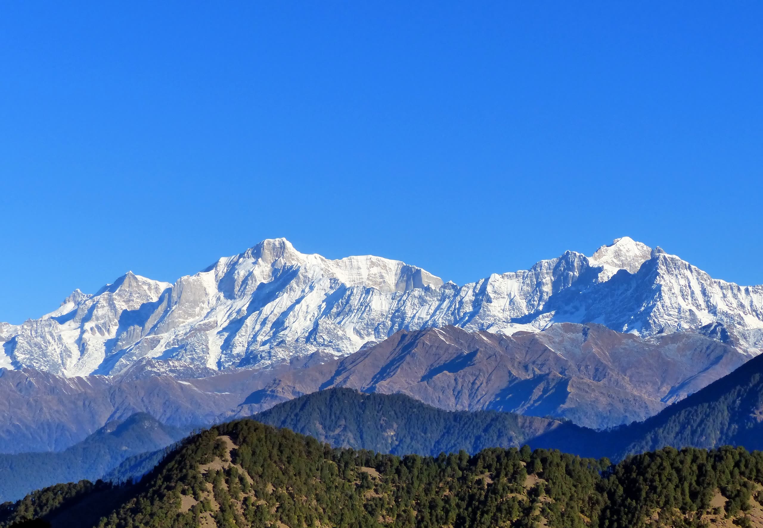
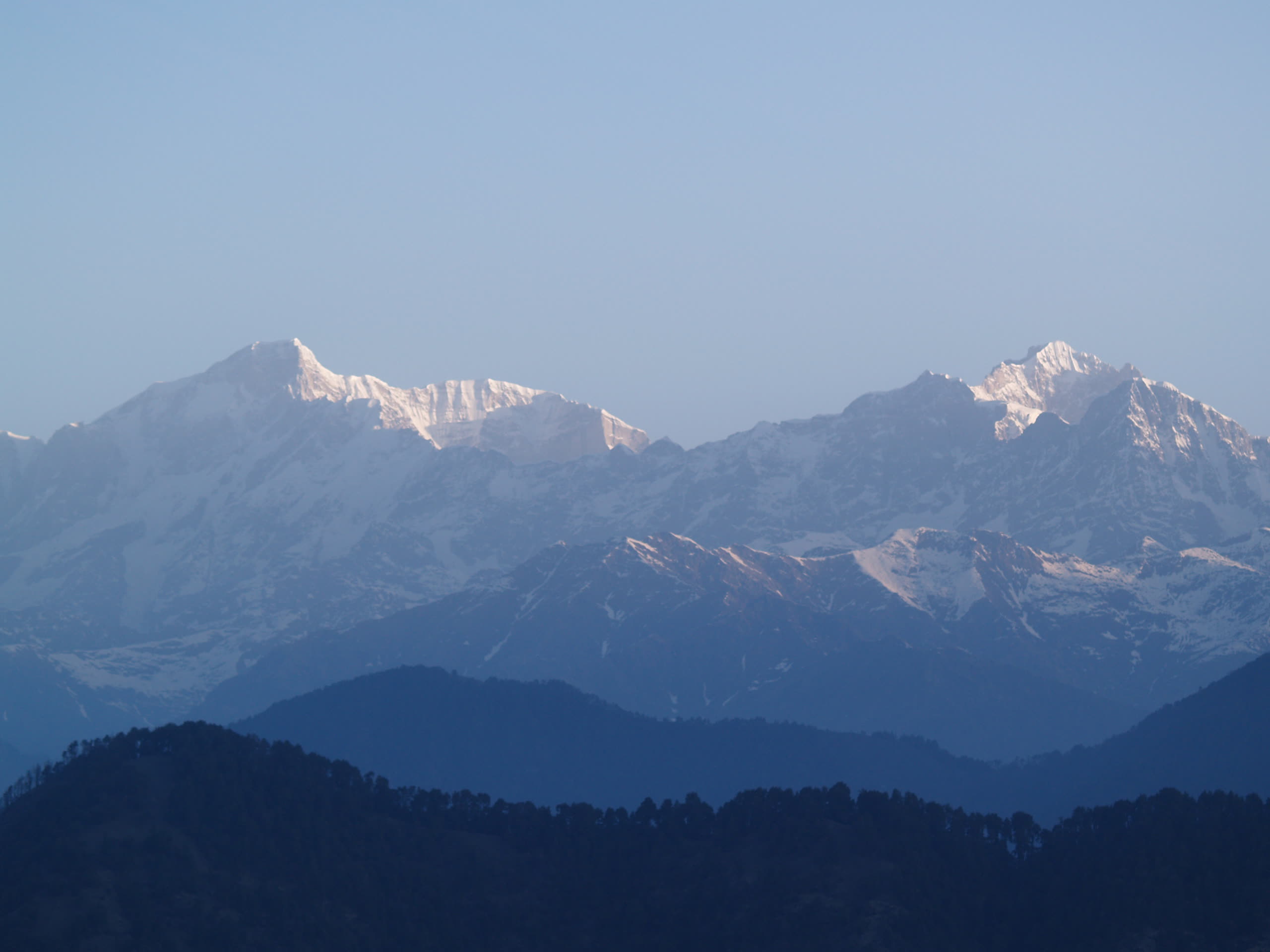
First light on the Kedarnath range, seen from Tungnath
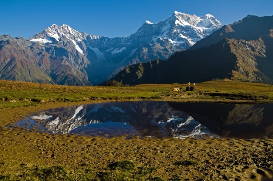
Chaukhamba mirrored in the pond at Buda Madhyamaheshwar
Storm clouds around Kedarnath peak above the temple valley
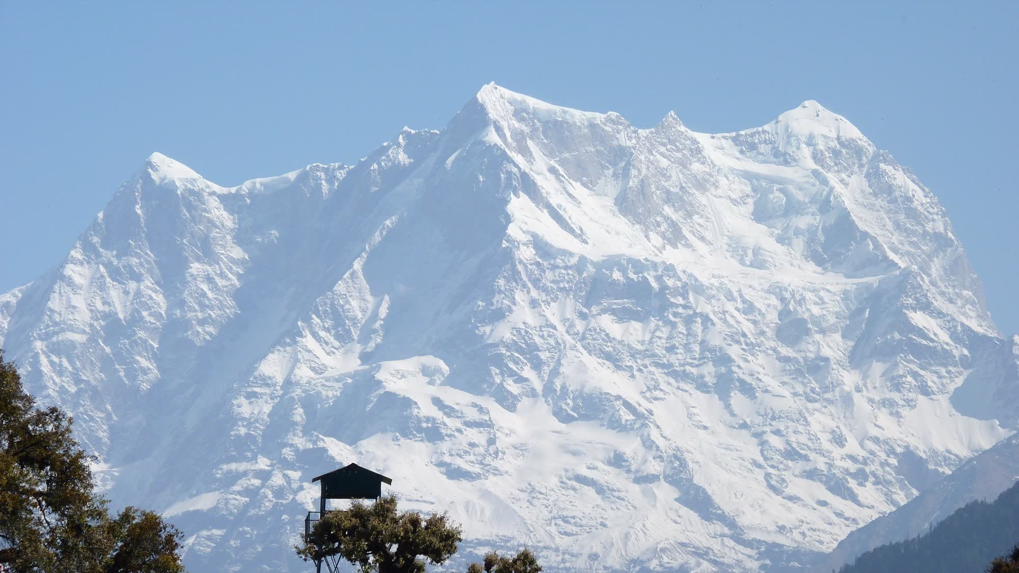
The Kedarnath and Kedar Dome massif under a clear sky

॥ हर हर महादेव ॥ Garhwal Himalaya · 30°29′–30°44′ N · 2,200–3,600 m

Five shrines. One Shiva.

Kedarnath, Madhyamaheshwar, Tungnath, Rudranath and Kalpeshwar. Five temples where Lord Shiva, in the form of a bull, surfaced from the earth. Here is their legend, timings and routes, and a complete plan for the yatra.

यात्राThe pilgrimage

One pilgrimage across two districts, five valleys and almost 3,600 metres of Himalaya.

The Panch Kedar lie in the Rudraprayag and Chamoli districts of Uttarakhand. They run from the glacial bowl of Kedarnath at 3,583 m to the green Urgam valley at 2,200 m. Only Kedarnath and Kalpeshwar have a road close by. The other three still need walking, through oak forest, village terraces and alpine meadows called bugyals.

Tradition says the Pandavas built the first temple at each of the five sites. Adi Shankaracharya is credited with reviving them in the 8th century. Pilgrims have walked this circuit for more than a thousand years, and many finish it with darshan at Badrinath.

State
Uttarakhand
Region
Garhwal Himalaya
Districts
Rudraprayag · Chamoli
Deity
Lord Shiva (as Kedar)
Temple altitudes
2,200 – 3,600 m
Season
Late Apr – Nov
कथाThe legend

The bull that dived
into the earth

After the Kurukshetra war, the Pandavas wanted Shiva’s forgiveness for killing their own kin. Shiva did not want to forgive them, and hid from them. He took the form of a bull and slipped in among the cattle of the Garhwal hills, at the place now called Guptkashi, the “hidden Kashi”.

Bhima saw through the disguise. He stood astride two mountains so the herd had to pass beneath him. Every animal walked through except one bull, which would not. When Bhima caught hold of it, the bull plunged into the earth. Its body surfaced again in five places, and at each one the Pandavas built a temple. Those five temples are the Panch Kedar.

The head is said to have emerged at Pashupatinath in Kathmandu (some say at Doleshwar Mahadev, Bhaktapur), in Nepal.

  1. १

    Hump पृष्ठ भाग (कूबड़)

    Kedarnath · 3,583 m

  2. २

    Navel नाभि (मध्य भाग)

    Madhyamaheshwar · ≈ 3,220 m

  3. ३

    Arms भुजा (बाहु)

    Tungnath · ≈ 3,410 m

  4. ४

    Face मुख

    Rudranath · 3,600 m

  5. ५

    Matted hair जटा

    Kalpeshwar · 2,200 m

महादेवMahadev

The god of the mountain

Before the five shrines, there is the one they are built for: the ascetic of Kailash, the dancer in the ring of fire, the blue-throated lord who drank the world’s poison.

ॐ नमः शिवाय

Enter the world of Mahadev
ॐ
पंच केदारThe five Kedars

Five temples, five parts of Shiva

In the order the scriptures count them. Each chapter gives the altitude, the walk, the winter seat and this year's season.

Kedarnath temple
Plate 1Kedarnath · Rudraprayag district

First Kedar · Shiva’s hump पृष्ठ भाग (कूबड़)

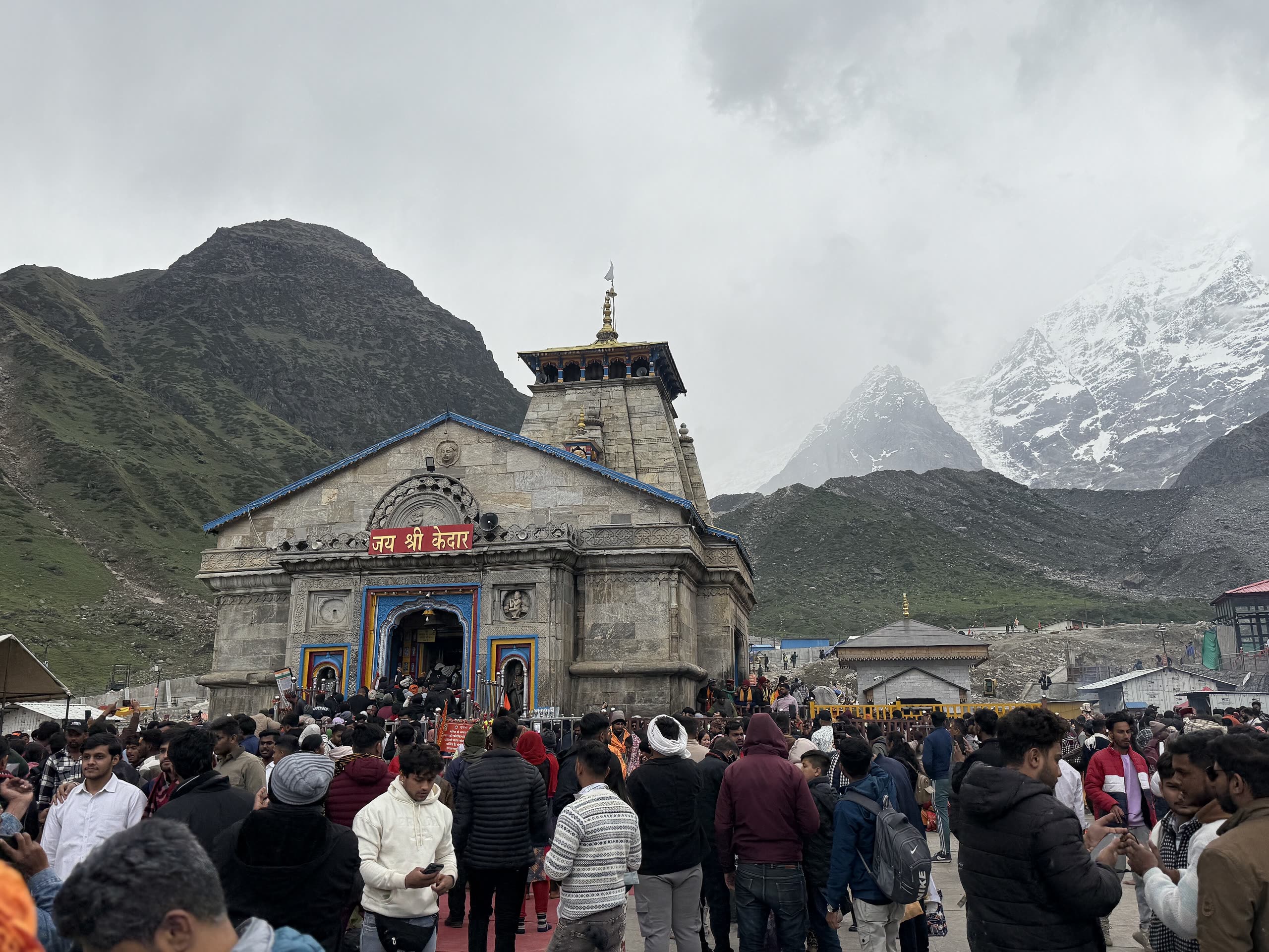
Kedarnath केदारनाथ

The first and the greatest of the five — a Jyotirlinga and a Char Dham, standing alone in a glacial amphitheatre beneath the Kedarnath massif.

Read the Kedarnath guide
Altitude3,583 m11,755 ft
The walk≈ 16 kmfrom Gaurikund
DifficultyModerate
Winter seatOmkareshwar Temple, Ukhimath
Season 202622 Apr 2026 → Bhai Dooj
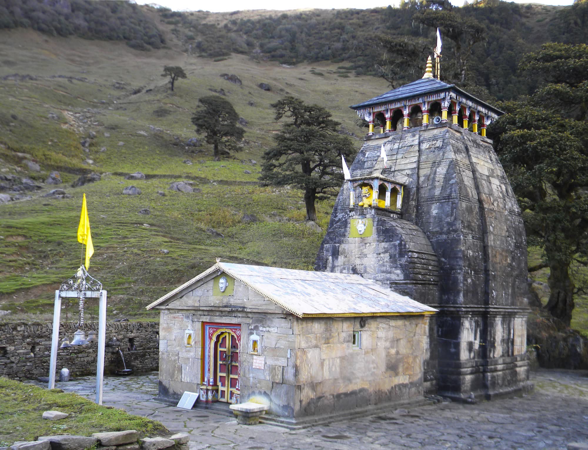
Madhyamaheshwar temple
Plate 2Madhyamaheshwar · Rudraprayag district

Second Kedar · Shiva’s navel नाभि (मध्य भाग)

Madhyamaheshwar मध्यमहेश्वर

A quiet meadow temple in the shadow of Chaukhamba, reached by a forest trail through villages — the most beautiful walk of the five.

Read the Madhyamaheshwar guide
Altitude≈ 3,220 m10,560 ft · often quoted 3,497 m
The walk≈ 16 kmfrom Ransi
DifficultyModerate
Winter seatOmkareshwar Temple, Ukhimath
Season 2026Mid–late May → Late Nov (after Diwali)
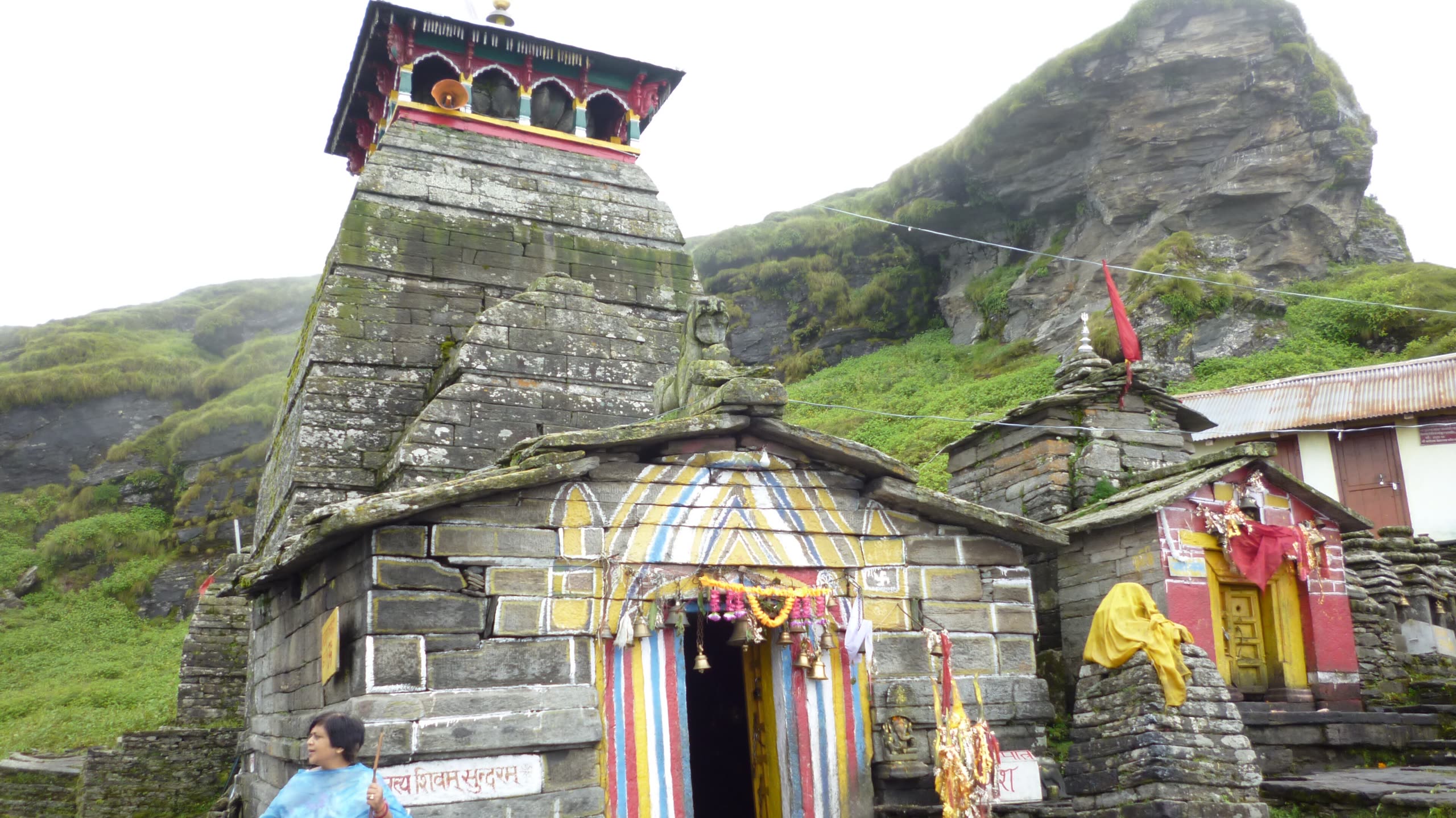
Tungnath temple
Plate 3Tungnath · Rudraprayag district

Third Kedar · Shiva’s arms भुजा (बाहु)

Tungnath तुंगनाथ

Traditionally called the highest Shiva temple in the world — a small stone shrine on a ridge above the Chopta meadows, looking out at a 200-km wall of snow peaks.

Read the Tungnath guide
Altitude≈ 3,410 m11,190 ft · often quoted 3,680 m
The walk≈ 3.5 kmfrom Chopta
DifficultyEasy – moderate
Winter seatMarkandeya Temple, Makkumath
Season 2026Early May → Late Oct – early Nov
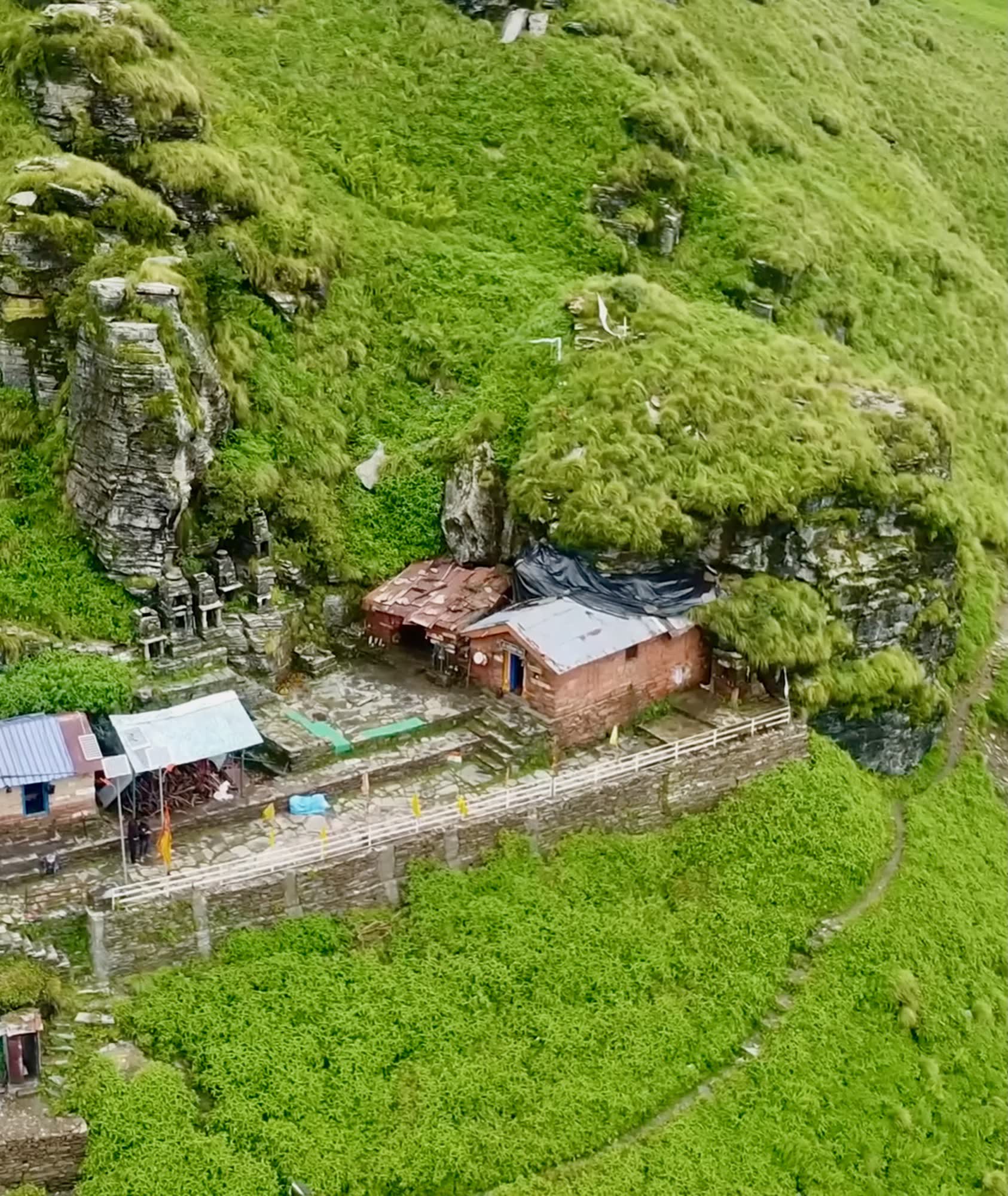
Rudranath temple
Plate 4Rudranath · Chamoli district

Fourth Kedar · Shiva’s face मुख

Rudranath रुद्रनाथ

The hardest and the most rewarding — a natural rock face of Shiva in a cave temple, reached over the highest alpine meadows in India.

Read the Rudranath guide
Altitude3,600 m11,811 ft
The walk≈ 20 kmfrom Sagar village
DifficultyDifficult
Winter seatGopinath Temple, Gopeshwar
Season 2026Mid–late May → Mid–late October
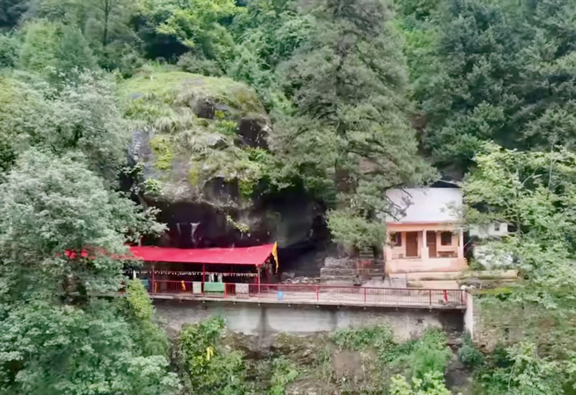
Kalpeshwar temple
Plate 5Kalpeshwar · Chamoli district

Fifth Kedar · Shiva’s matted hair जटा

Kalpeshwar कल्पेश्वर

A cave shrine in the green Urgam valley — the only Kedar you can visit in the depths of winter.

Read the Kalpeshwar guide
Altitude2,200 m7,217 ft
The walkShort walkfrom Devgram / Urgam
DifficultyEasy
Winter seatNone — open all year
Season 2026Open all year
मार्गThe route

From the Ganga at Rishikesh to the Alaknanda at Joshimath

The circuit runs up the Mandakini valley to Kedarnath, then crosses the Ukhimath–Chopta ridge into the Alaknanda valley for the two Chamoli Kedars. Each temple is a walk from its road head.

  • Kedar temple
  • Town / road head
  • Motor road
  • Trek
  • River

Temple altitudes

Kedarnath3,583 m
Madhyamaheshwar≈ 3,220 m
Tungnath≈ 3,410 m
Rudranath3,600 m
Kalpeshwar2,200 m
Ganga Alaknanda Mandakini RishikeshDevprayagSrinagarRudraprayagGuptkashiGaurikundUkhimathGopeshwarKarnaprayagHelangJoshimathBadrinathRansi 1Kedarnath2Madhyamaheshwar3Tungnath4Rudranath5Kalpeshwar N

3D satellite terrain · drag to pan · right-drag or two fingers to tilt and rotate

पदयात्राTrek simulator

Walk the trail before you walk it

Each trail is traced from OpenStreetMap footpaths, and its height is measured every 20 m from satellite terrain data (SRTM). The hiker walks that real profile on a 3D satellite map. Speed comes from Tobler’s hiking function, adjusted for altitude, your pace and rest stops. At every step you see altitude, gradient, oxygen and temperature, and at the end the time you reach the temple.

Pace
Direction

3D terrain · satellite · camera follows the hiker

——
—
Distance0.0km
Altitude—m
Gradient—%
Oxygen—% of sea level
Temp. vs start—°C
On the trail—h:mm
Clock (IST)——

Data: trail lines © OpenStreetMap contributors (ODbL). Heights come from AWS Terrain Tiles (SRTM, about 30 m resolution), sampled every 20 m. Satellite imagery © Esri, Maxar. Distances are scaled to the official signboard length, because a traced line skips some switchbacks. Model: Tobler’s hiking function, 6·e−3.5|s+0.05| km/h on the trail gradient s. Speed is reduced 9% per 1,000 m above 1,500 m and multiplied by a pace factor, and a 10-minute rest is added each hour. Real times vary with weather, crowds and fitness.

दर्शनDarshan timings & season

Is the temple open right now?

Indian Standard Time——

Daily schedule

  • 4:00 AMMahabhishek & morning puja
  • 6:00 AM – 3:00 PMGeneral darshan (sparsh darshan only before 3 PM)
  • 3:00 – 5:00 PMTemple closed for bhog & rest
  • 5:00 – 9:00 PMShringar darshan from a distance
  • 6:30 – 7:30 PMShayan / evening aarti

Season 2026

Doors open22 Apr 2026Doors opened 8:00 AM, 22 April 2026 (announced on Mahashivratri at Ukhimath).
Doors closeBhai Dooj · ~11 Nov 2026Closes on Bhai Dooj every year; the exact muhurat is announced on Vijayadashami.
Winter seatOmkareshwar Temple, Ukhimath
JanFebMarAprMayJunJulAugSepOctNovDec
Kedarnath
Madhyamaheshwar
Tungnath
Rudranath
Kalpeshwar

Best months Open Monsoon — landslide risk Closed for winter

Timings follow the temple routine and can shift by 15–30 minutes on festival days. Final opening and closing muhurats are announced by the temple committee and priests. Confirm on badrinath-kedarnath.gov.in before you travel.

सेवाDarshan & seva

Live aarti, puja booking and donations, only through official channels

Watch the official live broadcast and see when the next aarti is at each Kedar. Puja, rooms, helicopters and donations go only to the temple committee’s own websites.

Next aarti at each Kedar Indian Standard Time

  1. Kedarnath—
  2. Madhyamaheshwar—
  3. Tungnath—
  4. Rudranath—
  5. Kalpeshwar—

Worked out from each temple’s daily routine and this year’s season. Times can shift by 15–30 minutes on festival days.

योजनाHow to reach · calculator

Your yatra, calculated

Pick your city, how you will travel, and the Kedars you want to visit. The calculator works out the road distance, the walking distance, the driving time and the number of days, in the best order.

  • GatewayEvery route goes through Rishikesh. Haridwar is the main railhead, and Jolly Grant (Dehradun) is the airport.
  • Hill drivingExpect an average of 25–30 km/h on mountain roads. Night driving is not allowed on most stretches.
  • ApproximateDistances are rounded and vary with route and road conditions.
Travel to Rishikesh by
Kedars to visit
यात्रा क्रमItinerary

The complete yatra, day by day

Twelve days from Rishikesh and back, in the driving order that avoids backtracking. A shorter Kedarnath + Tungnath plan and a Chamoli circuit are on the itineraries page.

Chaukhamba reflected at Buda Madhyamaheshwar
All itineraries
12days
690km by road
121km on foot
  1. Day 01

    Rishikesh → Guptkashi / Sitapur

    Drive along the Ganga past Devprayag (Alaknanda–Bhagirathi confluence) and Rudraprayag. Complete yatra registration before you leave.

    Drive≈ 200 km · 8–9 hStayGuptkashi or Sitapur

  2. Day 02

    Sonprayag → Gaurikund → Kedarnath

    Shared jeep from Sonprayag to Gaurikund, then the trek. Evening aarti at Kedarnath.

    Drive≈ 20 kmTrek16 km · 6–9 hStayKedarnath

  3. Day 03

    Kedarnath → Gaurikund → Ukhimath

    Dawn darshan and Bhairavnath. Descend and drive to Ukhimath; visit Omkareshwar Temple.

    Drive≈ 50 kmTrek16 km downStayUkhimath

  4. Day 04

    Ukhimath → Ransi → Bantoli / Khatara

    Forest trail via Gaundar village; homestays all along.

    Drive≈ 20 kmTrek≈ 9 kmStayHomestay, Bantoli

  5. Day 05

    Bantoli → Madhyamaheshwar

    Evening darshan; walk up to Buda Madhyamaheshwar for the Chaukhamba view.

    Trek≈ 7 km (+ 2 km Buda)StayMadhyamaheshwar

  6. Day 06

    Madhyamaheshwar → Ransi → Chopta

    Morning puja, long descent, then a short drive up to Chopta.

    Drive≈ 49 kmTrek16 km downStayChopta

  7. Day 07

    Tungnath & Chandrashila → Gopeshwar

    Sunrise on Chandrashila, darshan at Tungnath, then drive via Mandal. Visit Gopinath Temple.

    Drive≈ 40 kmTrek5 km up · 5 km downStayGopeshwar

  8. Day 08

    Gopeshwar → Sagar → Panar Bugyal

    Steep climb through oak forest to Lyuti Bugyal and Panar.

    Drive≈ 5 kmTrek≈ 12 kmStayTents / huts at Panar

  9. Day 09

    Panar → Pitradhar → Rudranath

    High ridge walk over Pitradhar. Evening darshan of Neelkanth Mahadev.

    Trek≈ 8 kmStayRudranath

  10. Day 10

    Rudranath → Sagar → Gopeshwar

    Morning puja at Rudranath, then the long descent.

    Drive≈ 5 kmTrek≈ 20 km downStayGopeshwar

  11. Day 11

    Gopeshwar → Helang → Kalpeshwar

    Darshan at Kalpeshwar and Dhyan Badri. Optional extension: Badrinath (+1 day).

    Drive≈ 60 kmTrek≈ 1 kmStayUrgam or Joshimath

  12. Day 12

    Urgam → Rishikesh

    Back down the Alaknanda valley via Karnaprayag and Rudraprayag.

    Drive≈ 252 km · 9–10 hStay—

विश्रामHotels & stays

Where to stay, base by base

From GMVN rest houses and BKTC dharamshalas to village homestays and tents on the meadows. Prices are indicative for the pilgrim season and rise in May–June. Book government stays only on the official GMVN website.

Kedarnath

Guptkashi · Sitapur · Sonprayag

  • GMVN Tourist Rest House
  • Mid-range hotels
  • Budget lodges
  • Helipad-side hotels at Phata / Sersi

Indicative / night₹1,200 – ₹6,000+

Most choice and most comfort on the Kedarnath route. Book early for May–June.

Kedarnath

Kedarnath

  • GMVN cottages & tents
  • BKTC dharamshala
  • Swiss-style tent camps

Indicative / night₹800 – ₹4,000

Limited and sells out. Rooms are basic but warm. Expect it to be cold at night, even in June.

Madhyamaheshwar · Tungnath

Ukhimath

  • GMVN Tourist Rest House
  • Hotels & guest houses
  • BKTC dharamshala

Indicative / night₹1,000 – ₹3,500

Hub for Madhyamaheshwar and Tungnath. Has ATMs, pharmacy and fuel.

Madhyamaheshwar

Ransi · Gaundar · Bantoli · Nanu

  • Village homestays
  • Trail-side lodges

Indicative / night₹500 – ₹1,500

Simple rooms with home-cooked meals. Cash only.

Madhyamaheshwar

Madhyamaheshwar

  • Homestays
  • Temple dharamshala

Indicative / night₹500 – ₹1,500

A handful of rooms beside the temple meadow.

Tungnath

Chopta · Dugalbitta · Sari

  • Camps
  • Cottages
  • Lodges
  • Deoria Tal homestays (Sari)

Indicative / night₹1,000 – ₹5,000

Chopta itself has camps and lodges. Dugalbitta has the better resorts.

Rudranath

Gopeshwar · Chamoli

  • GMVN Tourist Rest House
  • Hotels

Indicative / night₹1,000 – ₹3,500

District headquarters with full services; base for Rudranath.

तैयारीBefore you go

Essentials for the high Himalaya

Documents
Photo ID, yatra registration QR, medical certificate if above 50 (recommended).
Layers
Thermal inner, fleece, down or padded jacket, rain jacket and poncho. Nights are near freezing even in June.
Feet
Broken-in trekking shoes with grip, woollen socks, and sandals for the evenings.
Health
Personal medicines, ORS, a basic first-aid kit and pain relief. Ask your doctor about acetazolamide for altitude.
Cash
ATMs only at the larger towns (Guptkashi, Ukhimath, Gopeshwar, Joshimath). Network on the trails is patchy.
Respect
No leather inside temples, no alcohol or meat in the dhams, and carry all plastic back down.
जिज्ञासाQuestions

Asked by every pilgrim

What is Panch Kedar?

Five Shiva temples in the Garhwal Himalaya of Uttarakhand — Kedarnath, Madhyamaheshwar, Tungnath, Rudranath and Kalpeshwar. Each enshrines a different part of Shiva’s bull form, which surfaced at these five places after the Mahabharata war.

In which order should I visit?

The scriptures list them as Kedarnath, Tungnath, Rudranath, Madhyamaheshwar, Kalpeshwar. On the road it is easier to go Kedarnath → Madhyamaheshwar → Tungnath → Rudranath → Kalpeshwar, which avoids backtracking. The darshan is equally valid in either order.

How many days are needed for the complete yatra?

About 12 days from Rishikesh, covering roughly 690 km by road and about 120 km on foot (including Chandrashila, Buda Madhyamaheshwar and Bhairavnath). Fit trekkers can do it in 10 days. Allow 1–2 buffer days for weather.

When are the temples open?

From about late April / May until October–November. Kedarnath opens on Akshaya Tritiya and closes on Bhai Dooj. Tungnath and Madhyamaheshwar close shortly after Diwali, and Rudranath usually closes in October. Kalpeshwar is open all year.

What is the best time to go?

May–June and mid-September to October. Monsoon (July–August) brings landslides and road closures, though the meadows are at their greenest.

Which is the toughest trek?

Rudranath — about 20 km one way with steep climbs and few facilities. Tungnath (3.5 km) and Kalpeshwar (a short walk) are the easiest.

Is registration required?

Yes for Kedarnath, under the Char Dham yatra registration system of Uttarakhand Tourism (registrationandtouristcare.uk.gov.in or the Tourist Care Uttarakhand app). Keep the QR slip with you.

Is there a helicopter to all five?

Scheduled helicopter shuttles run only to Kedarnath, from Phata, Sersi and Guptkashi. Book only through the official IRCTC Heliyatra portal; fake helicopter-booking websites are common.

Where do the deities stay in winter?

Kedarnath and Madhyamaheshwar at Omkareshwar Temple, Ukhimath; Tungnath at Markandeya Temple, Makkumath; Rudranath at Gopinath Temple, Gopeshwar. Kalpeshwar does not close.

Is altitude sickness a risk?

Yes. Three of the five temples stand at about 3,400–3,600 m, Madhyamaheshwar at about 3,220 m, and Chandrashila summit reaches about 3,640 m. Ascend gradually, drink 3–4 litres of water a day, avoid alcohol, and descend at once if headache, breathlessness or nausea get worse.

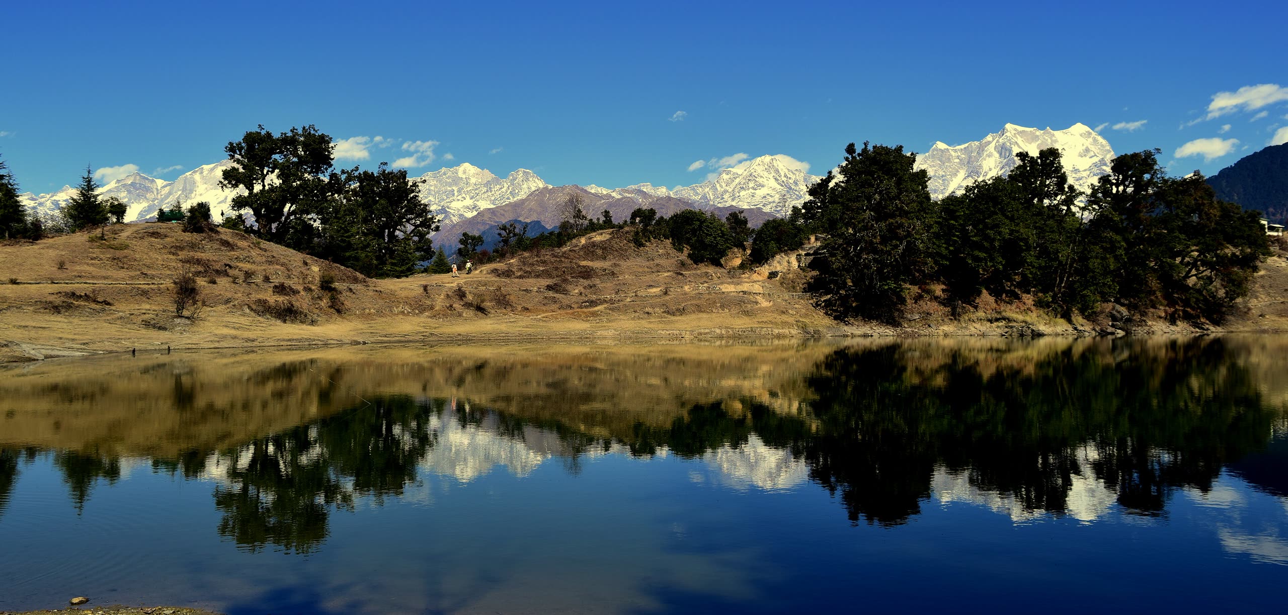
The snow ranges reflected in Deoria Tal at sunrise

॥ हर हर महादेव ॥

Five shrines are waiting above the clouds.

Deoria Tal, below Tungnath

This website is managed by

The Office of MushroomWale.com

A free, independent guide for Panch Kedar pilgrims, prepared and maintained from Uttarakhand. Temple bookings and donations go only through official channels — this site never collects money.

Visit MushroomWale.com
MushroomWale.com — The Mushrooming Expert